Catalog
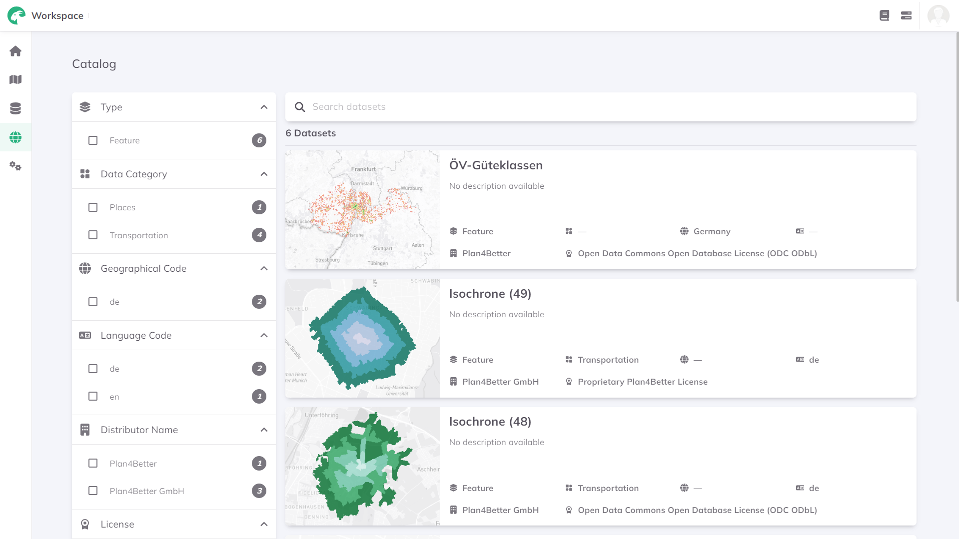
The Data Catalog is a comprehensive listing of all geospatial datasets available for exploration and analysis. A wide range of datasets are provided by Plan4Better based on official open-data providers and other sources, ensuring that reliable data is immediately available to carry out analysis and visualization within your projects.

Explore the catalog
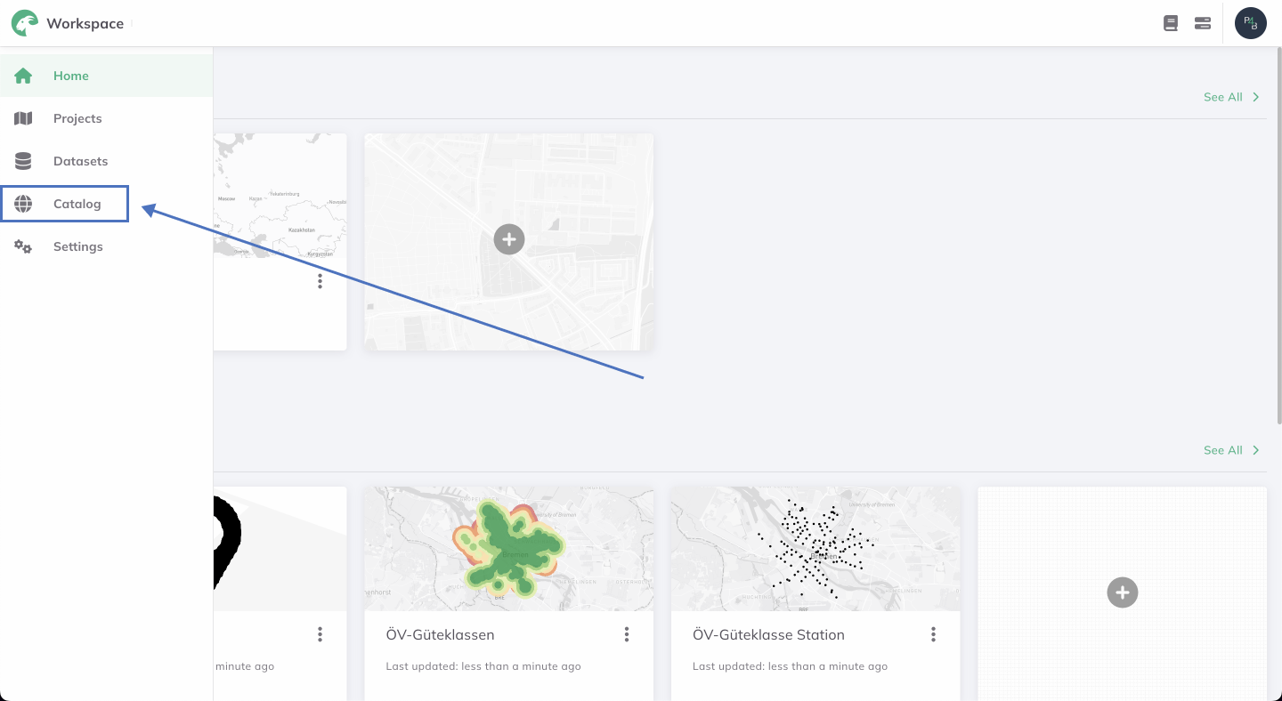
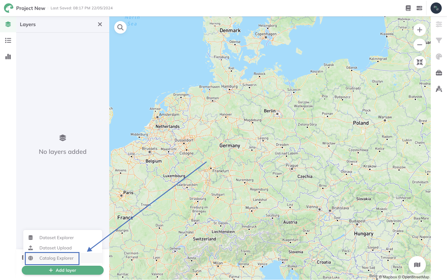
Accessed from the Workspace or via the + Add layer button in your GOAT project, you can search our collection of datasets by keyword, or by applying spatial and non-spatial filters for efficient discovery. You can also interactively preview datasets within our interface to assess content and quality, enabling visual exploration.
Our catalog features an extensive collection of datasets spanning different thematic areas, under different categories including:
Basemap: Foundational map layer providing essential geographic features such as coastlines, rivers, and terrain, serving as a backdrop for additional data layers.
Imagery: High-resolution visual data captured from satellites or aerial photography, offering detailed views of landscapes, urban areas, and infrastructure.
Boundary: Spatial demarcations delineating administrative, political, or geographic boundaries, including country borders, state/province lines, and municipal districts.
Land-use: Categorization of land areas based on their primary usage, including classifications such as residential, commercial, industrial, agricultural, and recreational zones.
Environment: Data depicting natural features and phenomena, such as ecosystems, climate patterns, and ecological habitats.
People: Demographic data related to human populations, such as population density, population distribution, age groups, and socio-economic characteristics.
Transportation: Information on transportation networks and infrastructure, including roads, highways, railways, airports, ports, and public transport systems.
Places: Points of interest and geographic landmarks such as schools, car-sharing locations, tourist attractions, and hospitals.

Clicking on a dataset within the Catalog page will take you to the metadata section. Here, you can explore detailed information about the dataset, including its description, dataset type, geographical and language codes (based on ISO 3166-1 alpha-2), distributor name, and license details. You can also preview the dataset map and associated data directly from the data page.
Use catalog data in your GOAT project
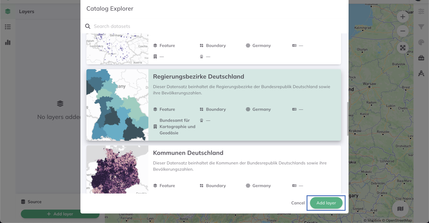
+ Add Layer.Catalog Explorer and browse the Data Catalog.
Add Layer.
 Filter
To learn more about GOAT's advanced filtering capabilities, see the Filter page.