Filter
Filter limits data visibility on your map using logical expressions (e.g., supermarkets with specific names) or spatial expressions (e.g., points within a bounding box). The filter allows you to focus on relevant information without altering original data. It works with point layers and polygon layers containing number and string data types.

How to use the filter
Single Expression Filtering
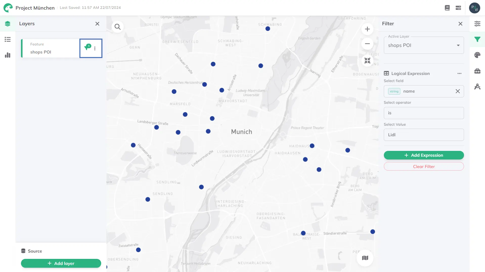
Filter Active Layer selector shows the currently selected layer for filtering.+ Add Expression to add a new filter expression.Logical Expression or Spatial Expression to define your filter type.- Logical expression
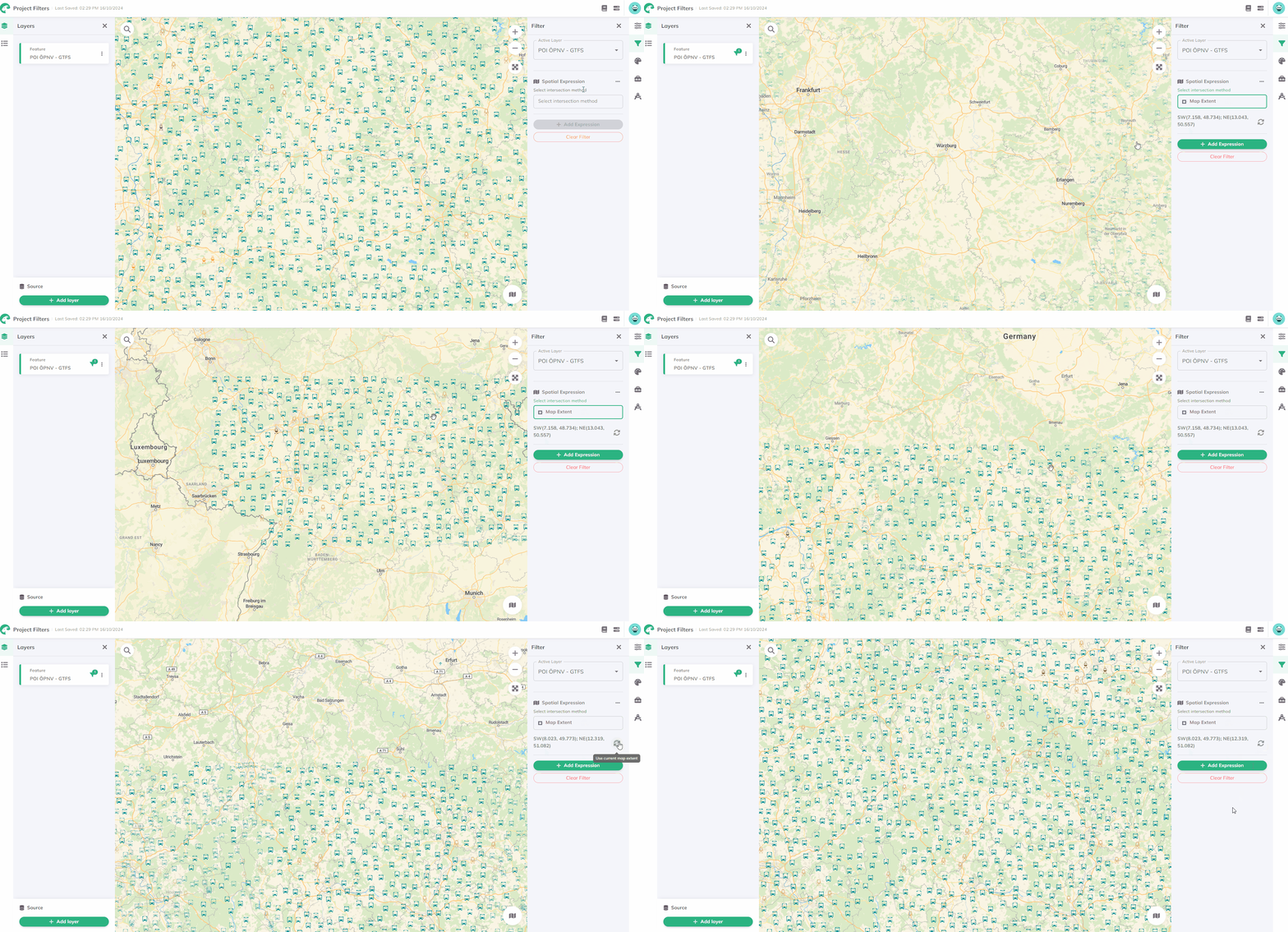
- Spatial expression
Field (attribute) to filter by.Operator. Available options vary by data type: number and string.Expressions for number | Expressions for string |
|---|---|
| is | is |
| is not | is not |
| includes | includes |
| excludes | excludes |
| is at least | starts with |
| is less than | ends with |
| is at most | contains the text |
| is greater than | doesn't contain the text |
| is between | is empty string |
| is not empty string |
For the expressions "includes" and "excludes", multiple values can be selected.

intersection method for spatial boundary.- Map extent
- Boundary

This feature is currently under development. 🧑🏻💻
Multiple Expressions Filtering
Combine multiple filters by repeating steps 3-7 for each expression. In Filter results, choose Match all filters (AND) or Match at least one filter (OR) to control how filters interact.
Delete Expressions and Filters
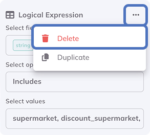
Remove single expressions: Click on the more options menu next to the expression, then click
Delete to remove the expression.

Remove whole filter: Click Clear Filter at the bottom of the Filter menu to remove all filters.