Dataset Types
On GOAT, you can work with datasets from Plan4Better’s catalog or upload your own from your computer. It accepts various formats for both Feature Datasets and Raster Datasets. Here we explain the different types of datasets you can use in GOAT.
Feature Datasets
1.1 Spatial Features
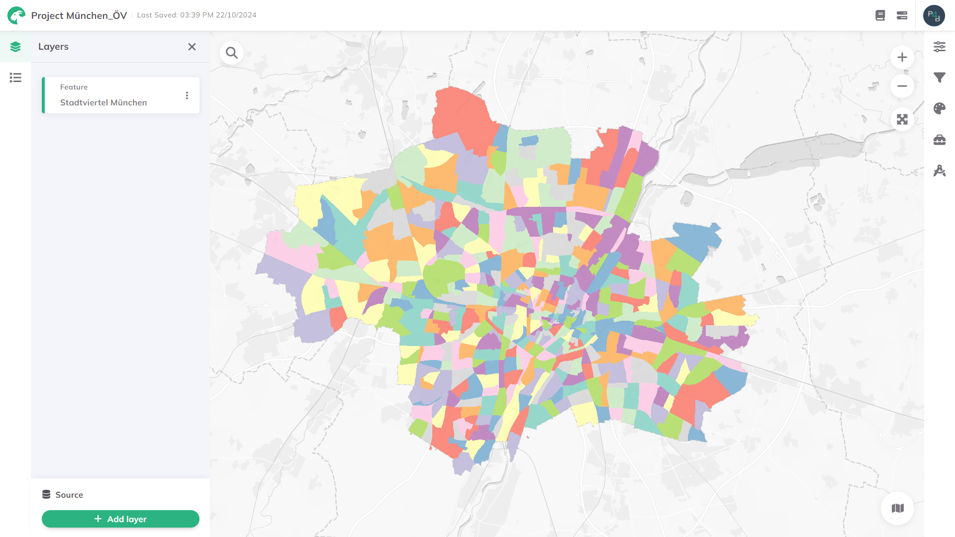
Feature datasets store spatial features like points, lines, or polygons. On GOAT you can upload data from Shapefiles, Geopackages, GeoJSON, or KML files, or add a WFS link from an external URL. You can visualize, style, and analyze these datasets using the different tools from the toolbox.

Example of spatial features displayed in GOAT
GOAT recognizes two types of feature datasets based on their source:
Feature Dataset Standard: These are the datasets you upload yourself (like GeoJSON, GPKG, KML, and ZIP files). Think of these as your "raw materials" - the original data you bring into GOAT to work with.
Feature Dataset Tool: These are datasets created by GOAT's analysis tools. When you run an analysis (like creating catchment areas or heatmaps), the results become this type of dataset.
1.2 Non-Spatial Datasets
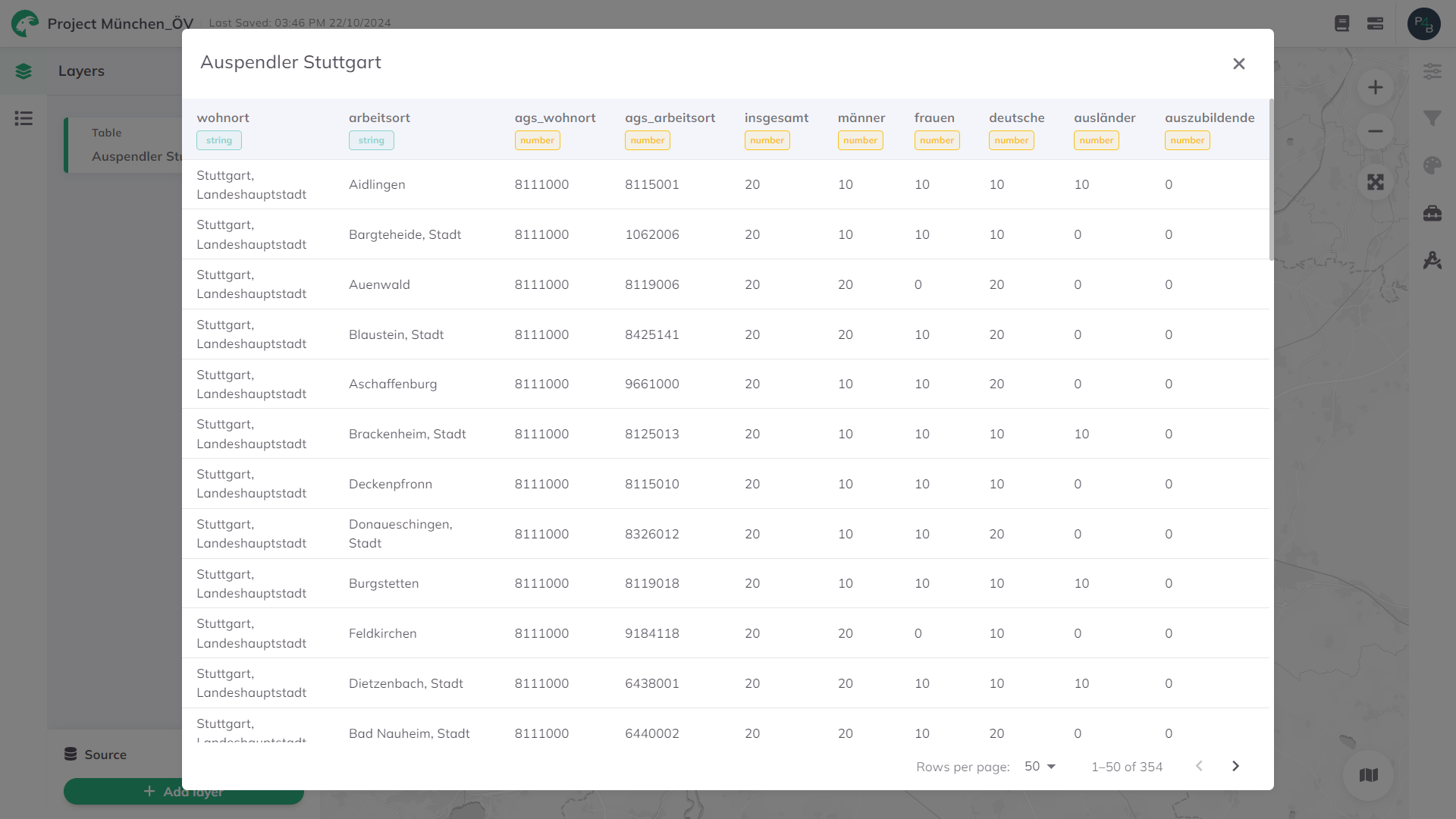
Tables are non-spatial datasets without geographic reference points, so they can't be visualized on the map. Import them in CSV or XLSX formats for analysis and data management.

Example of a table displayed in GOAT
Rasters Datasets
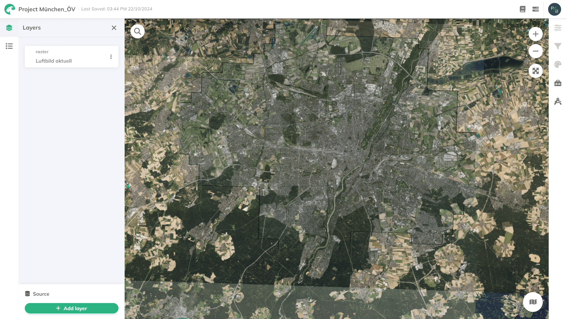
Raster datasets can come from external sources like WMS (Web Map Service) or WMTS (Web Map Tile Service). They provide georeferenced map images, such as topographic maps, but on GOAT they’re static, so they don’t support analysis or editing.
Raster styling depends on the external service (e.g., GeoServer). You can’t change the color scheme or feature representation in GOAT.

Example of a raster layer displayed in GOAT
WMS (Web Map Service): Supports zooming and panning, ideal for basemaps, but outputs static images and loads slower.
WMTS (Web Map Tile Service): Uses pre-rendered tiles for fast loading and smooth zooming. Best for large areas and consistent map styles.
XYZ Tiles: Offers fast zooming and panning with tiles defined by X (longitude), Y (latitude), and Z (zoom level) coordinates. Ideal for fast-loading maps with consistent performance at different zoom levels.
| WMS | WMTS and XYZ Tiles | |
|---|---|---|
| Type of URL in GOAT | Capabilities URL | Capabilities (only WMTS), Direct URL |
| Data output | Dynamic map images | Pre-rendered, cached map tiles |
| Structure | No tiles - images generated on-the-fly | Structured tiles based on grid |
| Performance | Slower (images generated per request) | Faster (tiles cached) |
| Customization | Limited | Limited |
| Scalability | Less scalable | Highly scalable |
| Zoom level | Variable, set by request parameters | Fixed zoom level, predetermined by server |