Welcome 👋
GOAT is a WebGIS platform with planning intelligence for urban and transport planning. Equipped with rich data and functionalities, it provides planners and GIS analysts with fact-based analysis. Along with computing benchmarks and analyzing existing situations, potential scenarios can be created and assessed. The platform offers a modern user interface and an intuitive user flow to simplify the planning process. GOAT's main goal is to enable smarter, more collaborative, and efficient planning through its innovative features and design.
Want to know more about GOAT? Visit our website: https://plan4better.de/en/goat/
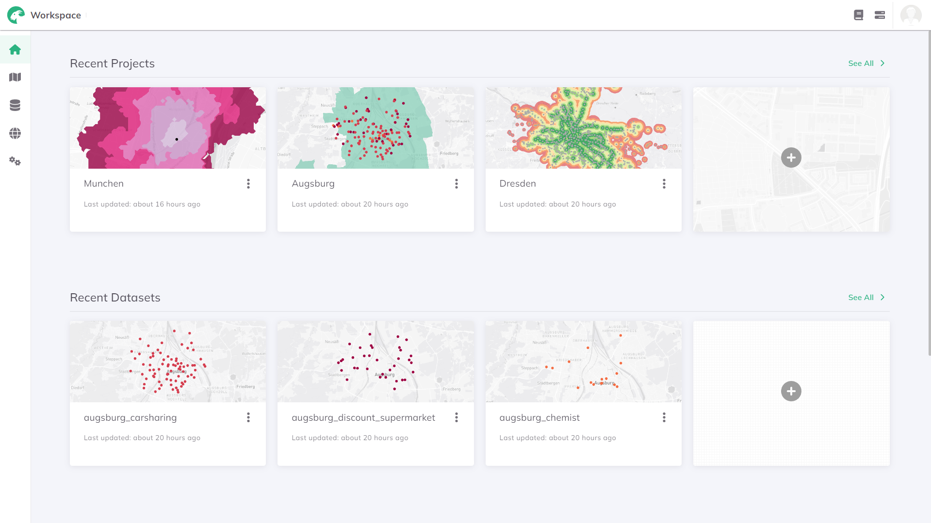
After signing up, you will land on the homepage to begin exploring GOAT.

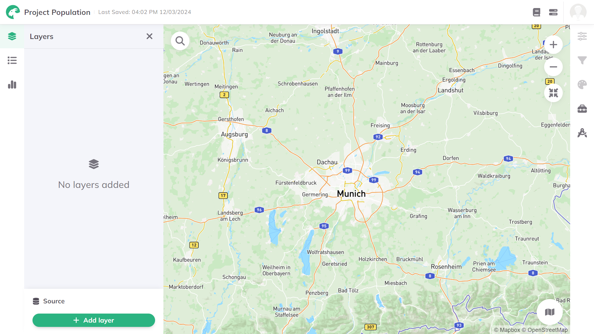
When you click on a project, the GOAT map view becomes visible.

In this documentation, you will find comprehensive explanations, detailed step-by-step guidelines, instructional video tutorials, and technical insights into the tools available for use within GOAT.
Via the sidebar, you can access all the content in the documentation.