Buffer
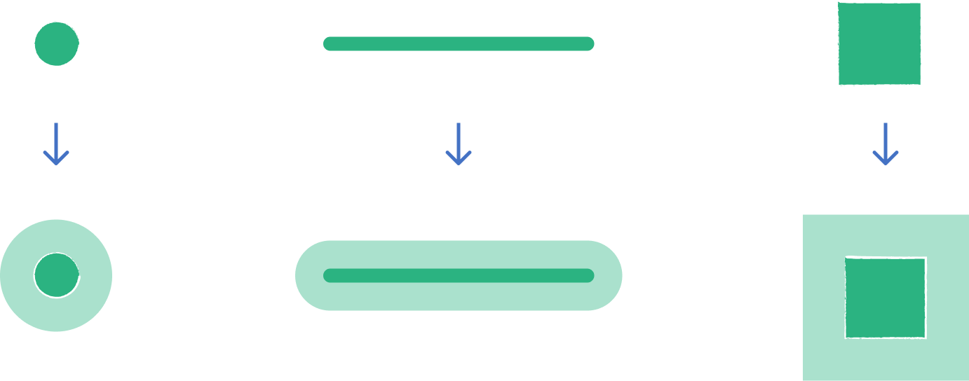
This tool allows you to create zones around points, lines, or polygons with a specified distance.
1. Explanation
A buffer is a tool used to delineate the catchment area around a specific point, line, or polygon illustrating the extent of influence or reach from that feature. Users can define the distance of the buffer, thereby customizing the radius of the area covered.

2. Example use cases
- Analyze population within 500m of train stations
- Count shops accessible within 1000m of bus stops
3. How to use the tool?
1
Click on  .
.
Toolbox 2
Under the
Geoprocessing menu, click on Buffer.Select layer to buffer
3
Select the
Layer to buffer, around which you like to create the buffer.Buffer Settings
4
Define via the
Buffer Distance: how many meters from your points, lines, or shapes the buffer should extend.5
Define in how many
Buffer Steps the buffer should be divided.6
Configure the
Polygon Union setting:- Disabled: GOAT will generate single buffers around each input geometry
- Enabled: GOAT will create a geometric union of all steps of the buffer polygons. The buffer with the biggest extent also includes all buffer areas of the smaller extent. This approach is useful if you want to see the total area covered by all your buffer steps combined.
7
If you enabled Polygon Union, you can enable the
Polygon Difference. GOAT will create a geometric difference of the buffers. It subtracts one polygon from another, resulting in polygon shapes where the buffers do not overlap.
8
Click on
Run. This starts the calculation of the buffer. As soon as this task is accomplished, the resulting layer called "Buffer" will be added to your map.Tip
Want to style your buffers and create nice-looking maps? See Styling.