Upload Data
Now that you have a project, let's add some data. GOAT supports various formats including GeoJSON, Shapefile, CSV, and more.
Supported Data Formats
| Format | Extension | Best For |
|---|---|---|
| GeoJSON | .geojson, .json | Web-friendly vector data |
| Shapefile | .zip (containing .shp, .dbf, etc.) | Traditional GIS data |
| GeoPackage | .gpkg | Modern, single-file format |
| CSV | .csv | Tabular data with coordinates |
| KML | .kml | Google Earth data |
Step-by-Step Instructions
1. Open the Data Catalog
Navigate to the Datasets section in your workspace.

The Datasets management view
2. Upload Your File
- Click "Upload Dataset" or drag and drop your file
- GOAT will automatically detect the file format
- Preview your data to ensure it loaded correctly
- Assign a name and optional description
3. Verify the Data
After upload, check that:
- All features are visible on the map preview
- Attribute columns are correctly detected
- Geometry types match your expectations
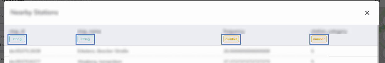
Reviewing your data in table view
Sample Data for This Tutorial
For this tutorial, you can use POI (Points of Interest) data. Here's what makes good input for catchment analysis:
- Schools - Analyze walking accessibility for students
- Supermarkets - Check grocery store coverage
- Public Transit Stops - Evaluate transit accessibility
- Healthcare Facilities - Map healthcare access
Download Sample Data
Don't have data? Use GOAT's built-in Data Catalog to access ready-to-use datasets for your region.
Data Quality Checklist
Before proceeding, verify:
- Data has valid geometries (points for POIs)
- Coordinate system is correct (WGS84 / EPSG:4326)
- Attributes are meaningful for your analysis
- No duplicate features
Next Step
Your data is ready! Let's move on to the exciting part: Running the Catchment Analysis.
Progress: 2 of 5 steps completed