Built-in Datasets
The foundation behind GOAT's Indicators
GOAT's powerful accessibility indicators and analysis tools rely on high-quality built-in datasets that work behind the scenes. These datasets are not directly accessible to users, but they power all routing calculations and accessibility analyses within GOAT.
Understanding these underlying datasets helps you:
- Know what data quality to expect from GOAT's indicators
- Understand the geographic coverage of different analysis tools
- Interpret results with knowledge of the data sources
Built-in datasets (described on this page) power GOAT's internal calculations and indicators. For datasets you can upload your own data or use existing datasets from our Catalog.
Network Datasets for Routing
GOAT includes comprehensive network datasets that power all routing-based accessibility indicators and analysis tools.
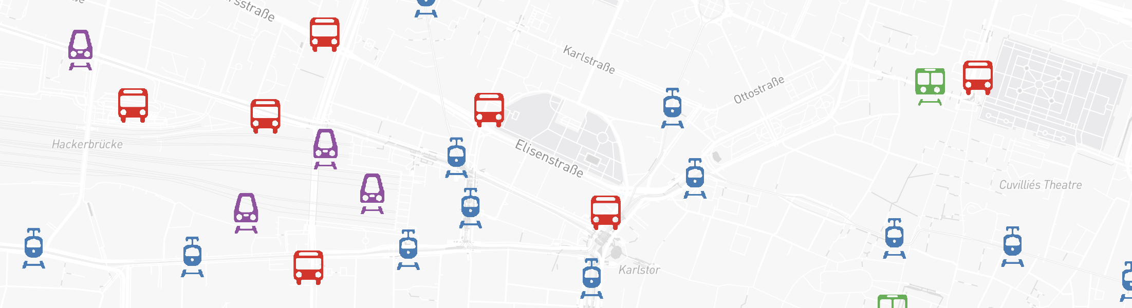
Public Transport Network
Our public transport network covers multiple modes including buses, trams, subways, trains, and ferries. This network enables GOAT's Public Transport routing capabilities.
What's Included:
- Stops: Names, locations, types, and accessibility information
- Routes: Service types, accessibility details, and route information
- Schedules: Departure times, service frequency, and operating days
- Transfers: Interchange specifications and station connections
- Trip Patterns: Stop sequences and timing information
- Route Shapes: Geospatial representation of transit lines
Data Sources:
- Germany: DELFI - Germany's national public transport data platform
- Street-level Data: OpenStreetMap (OSM) - For station access, pedestrian connections, and multi-modal routing
How We Process the Data:
- Import: Data is collected in GTFS (General Transit Feed Specification) format
- Verify & Correct: We validate stop relationships, platform connections, and service type classifications
- Optimize: Networks are streamlined to include only the most representative service patterns for each route
- Schedule Types: Analysis supports three day types - Weekday (typically Tuesday), Saturday, and Sunday
Street Network and Topography
Our street network represents real-world transportation infrastructure including roads, highways, bike paths, and pedestrian ways. This powers GOAT's Walking, Cycling, E-bike, and Car routing.
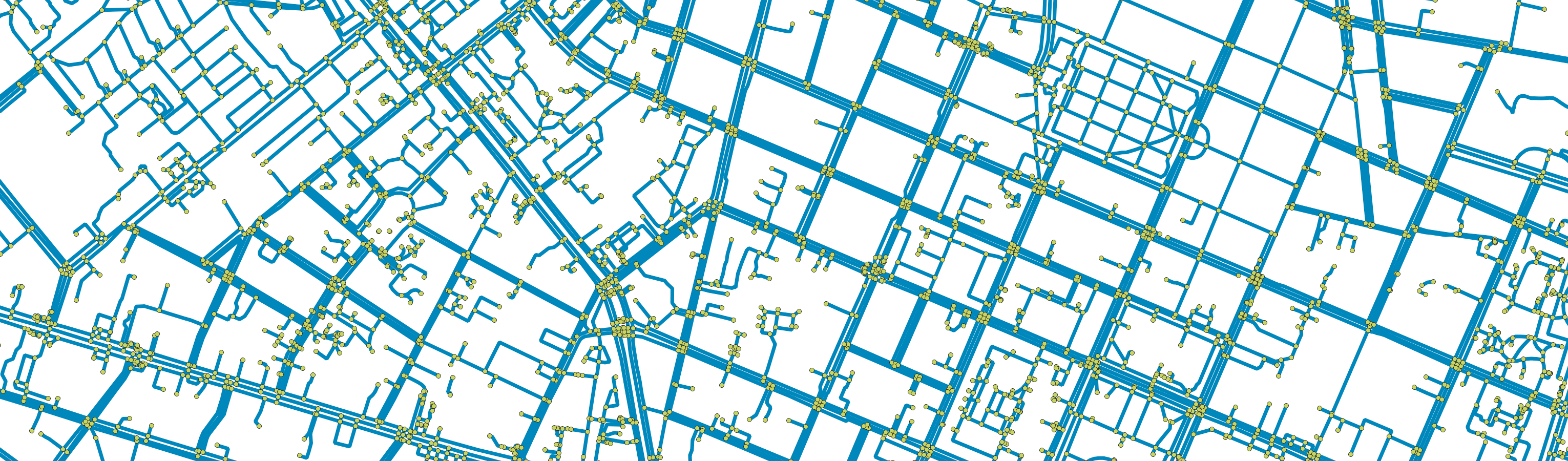
Network Components:
- Segments (Edges): Continuous path sections between intersections
- Intersections (Nodes): Points where different paths meet or cross
Data Sources:
- Street Networks: Overture Maps Foundation - High-quality, Europe-wide transportation data
- Elevation Data: Copernicus Digital Elevation Model (DEM) for accurate slope calculations
Processing Workflow:
- Data Import: Street network data is imported in Geoparquet format from Overture Maps' Transportation theme
- Elevation Processing: European DEM tiles are processed to extract topographical information
- Spatial Indexing: Network segments are organized using Uber's H3 grid system for efficient processing
- Slope Calculation: Surface gradients and slope impedance are computed for each street segment
- Attribute Parsing: Street classifications, speed limits, turning restrictions, and one-way designations are identified and standardized
- Speed Limit Interpolation: Missing speed limits are estimated based on street type and modal speeds
While GOAT currently uses built-in networks for public transport and street routing, we're working on allowing users to upload their own custom networks. Interested in this feature? Contact us to learn more.